
From a frontier trail to Colorado State Highway 83.
Gold seekers bound for Denver followed the Smoky Hill Trail along Cherry Creek. Its middle branch was so harsh it earned the nickname the Starvation Trail. Today State Highway 83, Parker Road, roughly follows that route from Parker to Denver.
Mile houses sprang up to serve travelers, named for their distance from Denver. The 17 Mile House, still standing on South Parker Road near the Douglas County line, is listed on the National Register of Historic Places.
The original Highway 13 was built west of the 17 Mile House alongside the trail.
The Denver & New Orleans Railroad laid track along the western side of the Cherry Creek floodplain, later followed by Jordan Road.
The road was relocated between the 17 Mile House and its barn and officially became State Highway 83. In 1937 it moved again to its present position.
The U.S. Army Corps of Engineers built Cherry Creek Dam, creating the reservoir that anchors today's Cherry Creek State Park beside Parker Road.
The area stayed largely agricultural until the mid-1960s, when Aurora's growth turned Parker Road into a busy commercial corridor of shopping centers, offices and restaurants.
Aurora broke ground on the Nine Mile Pedestrian Bridge and rebuilt the Parker, Quincy and Smoky Hill intersection, while Serve Aurora opened its home at Pavilion Towers.
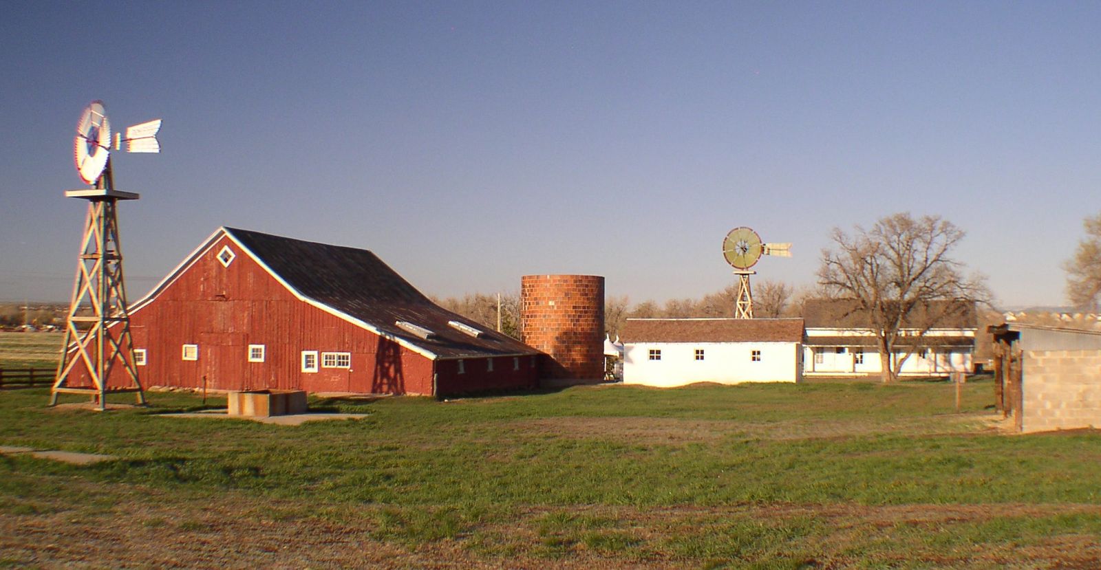
The historic 17 Mile House on Parker Road.
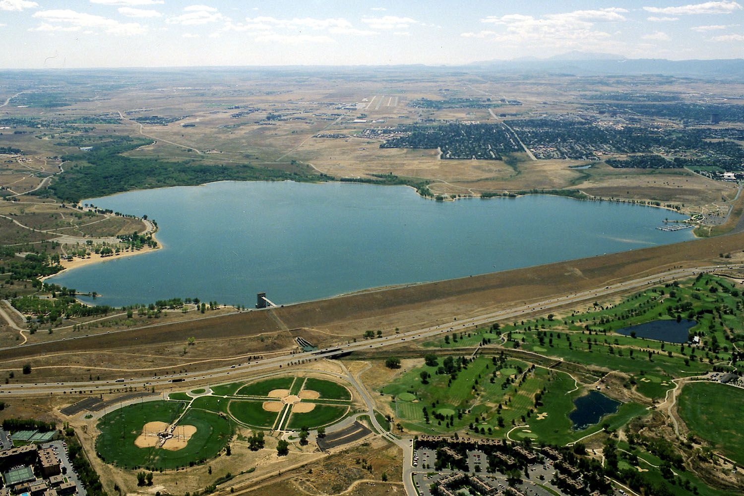
Cherry Creek Dam and Reservoir. U.S. Army Corps of Engineers photo.
Sources: National Park Service NRHP nomination for the Seventeen Mile House; History Colorado; Arapahoe County Parker Road Corridor Study.